Car park at the end of Stoney Creek Road, Kamerunga. No toilets.
Directions in Google MapsThe swimming hole under the footbridge
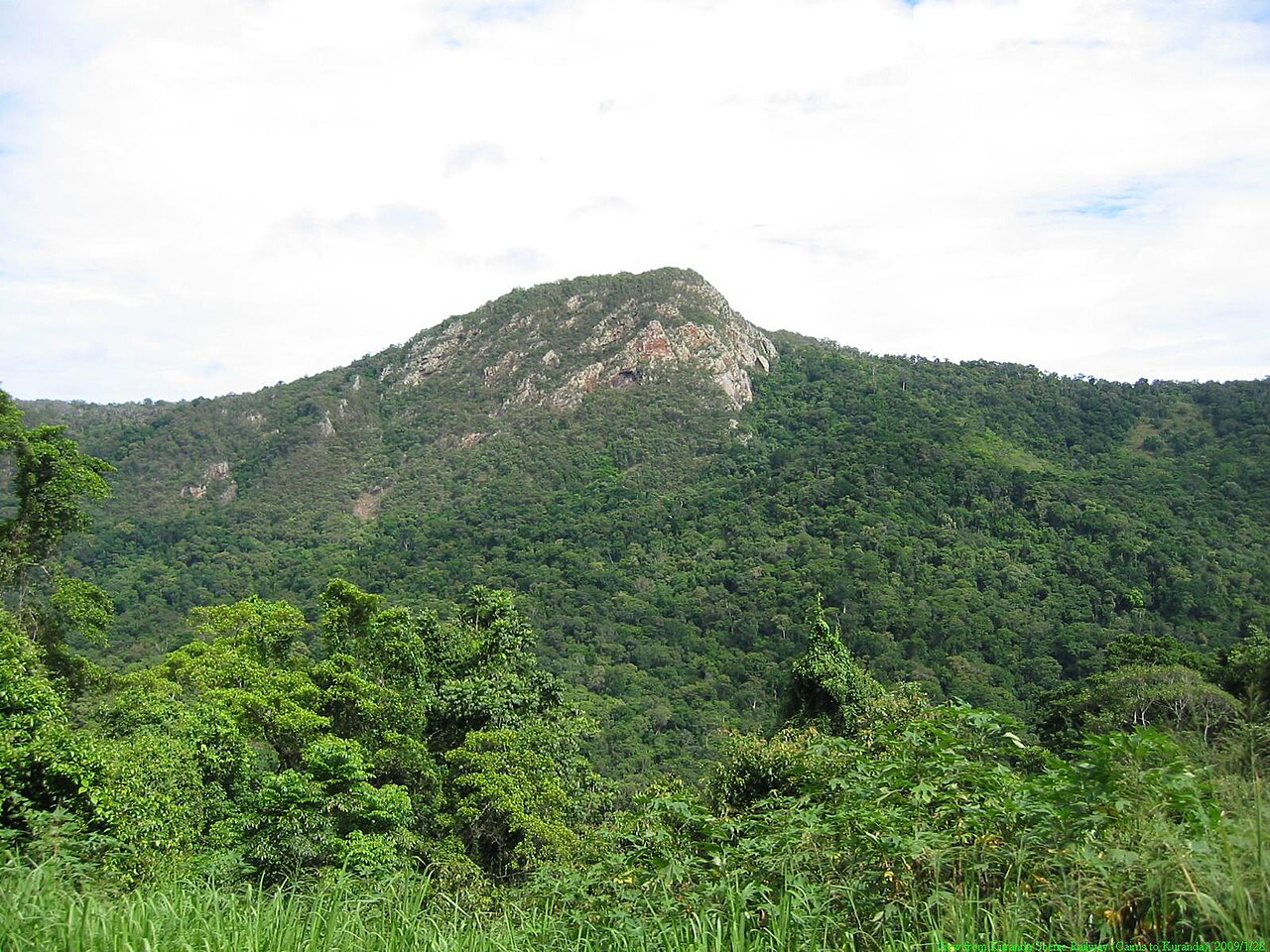
Stoney Creek sits in the lower, coastal section of Barron Gorge National Park, at the end of Stoney Creek Road in Kamerunga. It feels miles from anywhere, but it's about 20 minutes from the city.
From the car park, walk to the footbridge and you're at the first swimming hole. Cross it and the Garndal Garndal weir track follows the creek past clear pools and small waterfalls to a big boulder just below the old weir.
There are no toilets, and the track is rough. That's part of why it stays quieter.
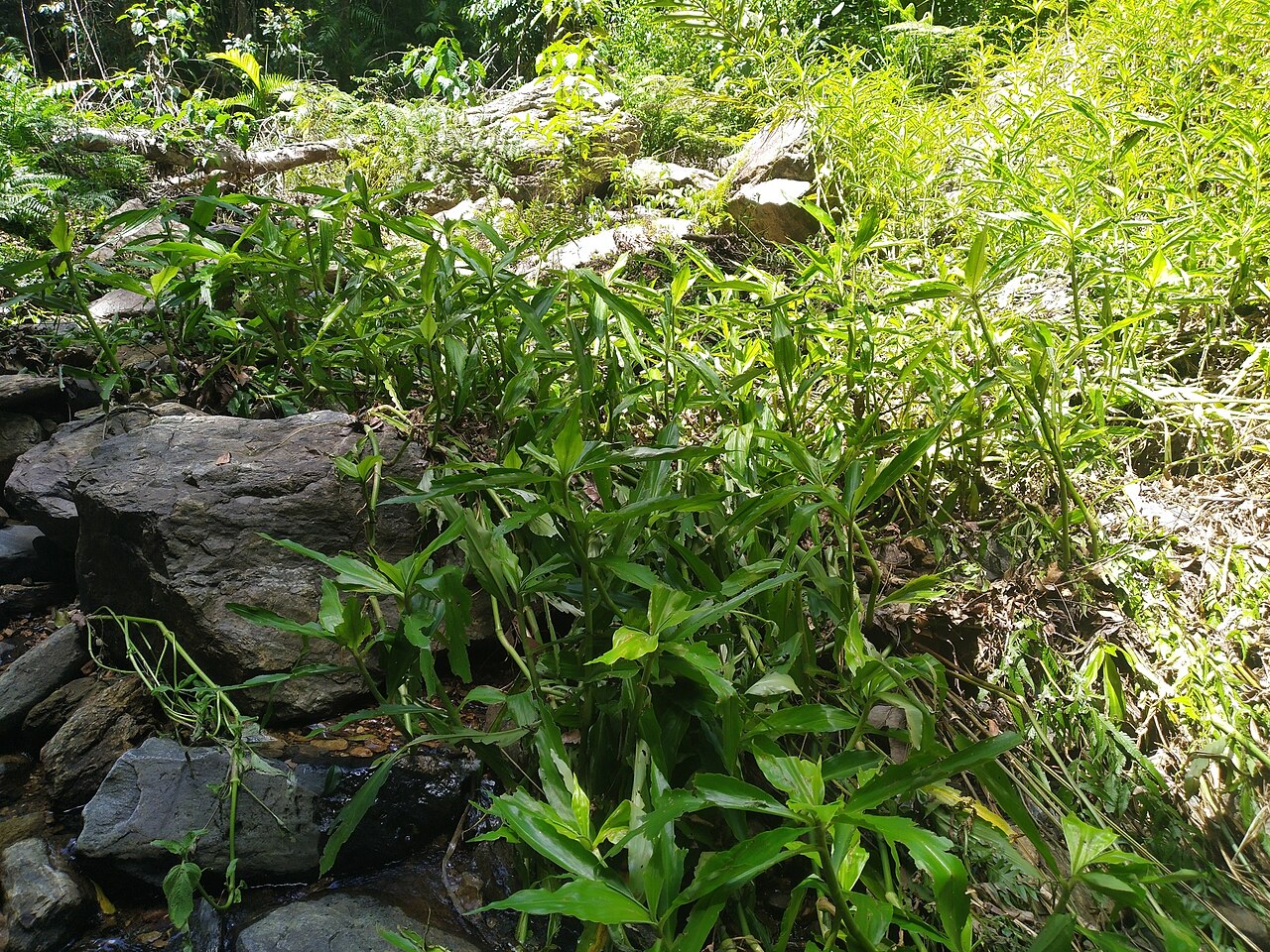
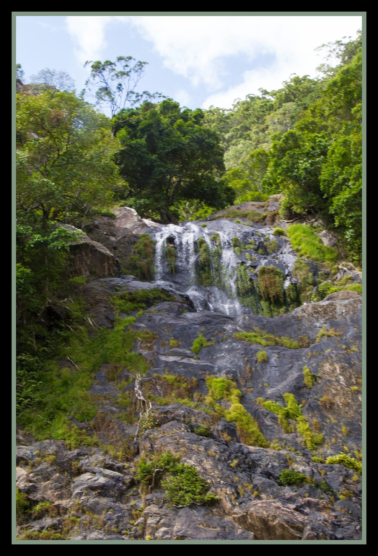
The Stoney Creek weir track
- Distance: 1 km one way, return the same way.
- Time: about 15 minutes each way.
- Grade: easy, but the track is unformed, with rocks and twisted tree roots.
It ends on a large boulder overlooking the creek, just downstream of the old weir. Take care near the weir itself. The park is open 24 hours.
Douglas Track and Glacier Rock
The longer Douglas Track also leaves from the Stoney Creek trailhead. It's 8.5 km one way to Speewah, about 3 hours and graded moderate, climbing through rainforest towards Glacier Rock with views back over Cairns.
Stoney Creek safety notes
Queensland Parks posts two standing warnings for Barron Gorge National Park: beware crocodiles and be cass-o-wary. Keep an eye out, follow any signs, and avoid the creek during or after heavy rain, when water levels rise and rocks get slippery.
Stoney Creek: good to know
No toilets
Car park and picnic tables only.
Rough track
Unformed, with rocks and roots. No wheelchair access.
After rain
Skip it when the creek is high or brown.
Cassowaries
If you see one, give it plenty of space.
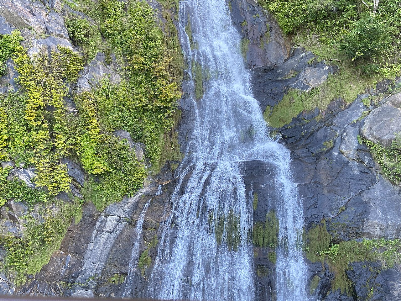
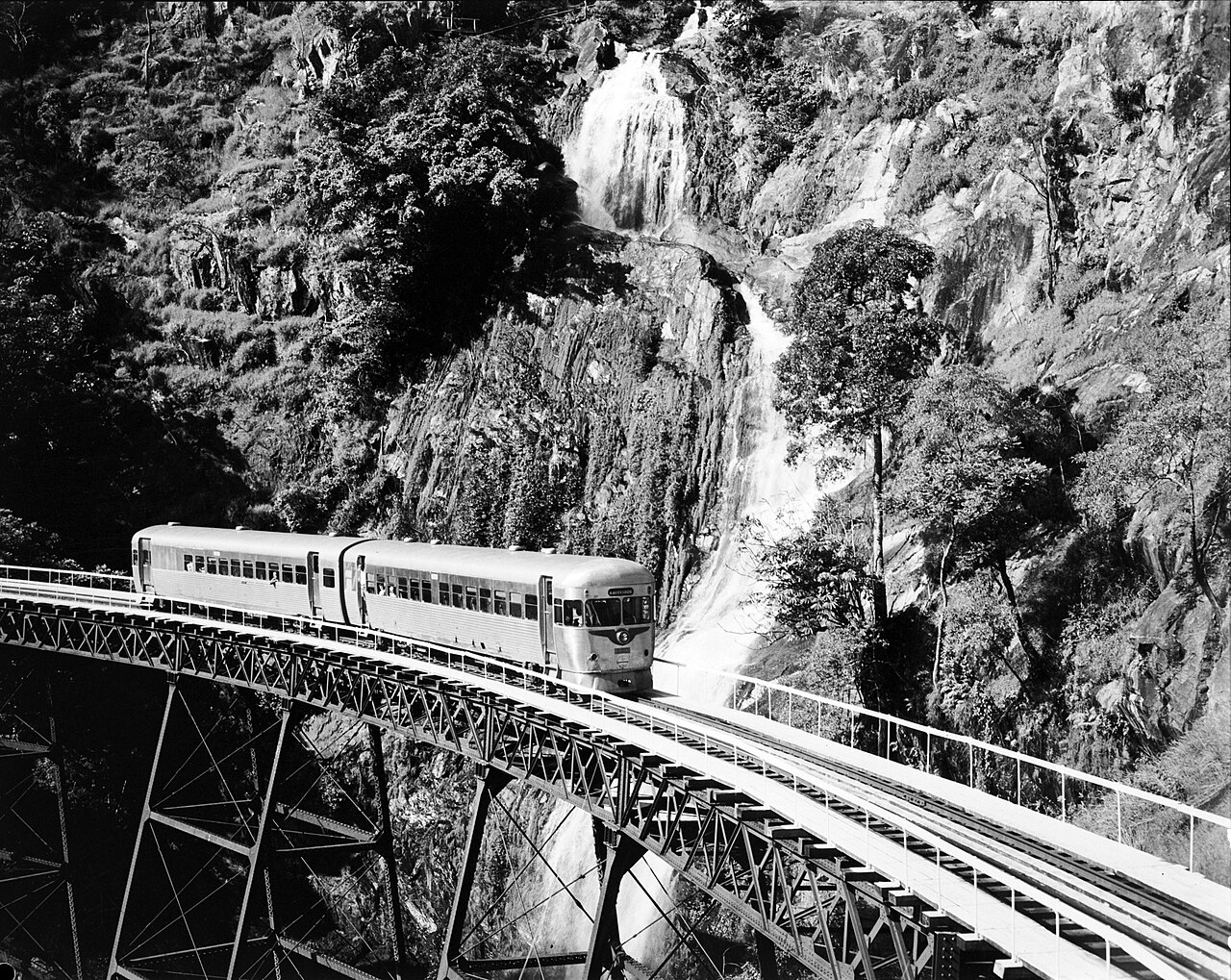
Stoney Creek in pictures
Swipe or use the arrows. Tap a photo to see it bigger.
Stoney Creek: the route on a map
End of Stoney Creek Road, Kamerunga
About 15 kilometres from the city. Park at the Stoney Creek trailhead at the end of the road.
Route line from OpenStreetMap. On the day, follow the signs and markers on the track.
Open in Google MapsMore in the Barron Gorge
The Barron River runs right past Kamerunga. Raft it, or ride the Skyrail over the gorge to Kuranda.
Crystal Cascades
Cairns' own rainforest swimming holes, 20 minutes from the city.
See the guide →Kuranda Markets
Two markets in the rainforest village: handmade leather, Indigenous art, buskers.
See the guide →Red Arrow Walk
A one-hour rainforest climb with a city view, starting at the Botanic Gardens.
See the guide →Barron River Rafting
White water on the Barron River, close to the city.
Kuranda Skyrail & Scenic Rail
Up by train, down by cableway, with time in Kuranda village in between.
Stoney Creek FAQs
Can you swim at Stoney Creek Cairns?
Yes, there's a swimming hole right under the footbridge and more pools upstream. Stay out after heavy rain.
How long is the Stoney Creek walk?
The Garndal Garndal weir track is 1 km one way, about 15 minutes each way.
Are there toilets at Stoney Creek?
No. There's a car park and picnic tables only.
Where do you park for Stoney Creek?
At the car park at the end of Stoney Creek Road in Kamerunga, the Stoney Creek trailhead.
Are there crocodiles at Stoney Creek?
Queensland Parks lists a standing 'beware crocodiles' warning for Barron Gorge National Park. Be croc-wise and follow all signs.