East end at Josephine Falls, west end on the Atherton Tableland. Hike-in camps only, fully self-sufficient.
Directions in Google MapsThe top of Queensland, earned on foot
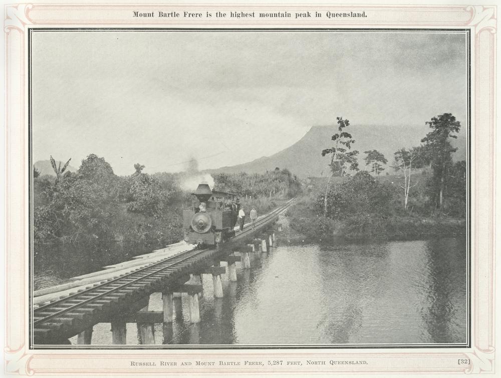
Bartle Frere is the highest mountain in Queensland, in the Bellenden Ker Range inside Wooroonooran National Park. The trail crosses it from Josephine Falls on the coast side to the Atherton Tableland.
It's 15 kilometres one way and Queensland Parks says to allow two days. Only very fit, experienced bushwalkers can do it in a single 10 to 12 hour day. It's Grade 5 the whole way.
Not ready for the full crossing? The section from Josephine Falls to Broken Nose is a 10 kilometre return day walk, and it's still very steep.
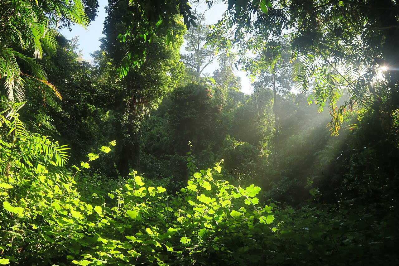
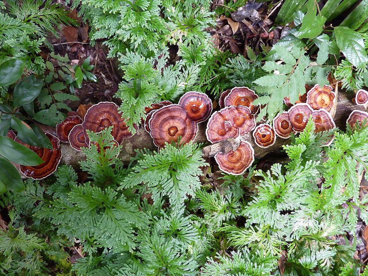
The Bartle Frere trail, end to end
- Distance: 15 km one way.
- Time: allow 2 days. Very fit, experienced bushwalkers can finish in one day of 10 to 12 hours.
- Grade 5: very steep and strenuous.
- East end: Josephine Falls, 75 km south of Cairns.
- West end: the Atherton Tableland, 78 km south-south-west of Cairns.
Because the two ends are far apart by road, you'll need to sort transport at both ends before you start.
Broken Nose: the Bartle Frere day walk
The Broken Nose trail is the first section of the Bartle Frere trail, leaving from Josephine Falls. It's 10 km return, about 8 hours, Grade 5, and Queensland Parks calls it very steep. It gives you a taste of the mountain without overnight gear.
Camping on Bartle Frere
There are hike-in bush camping sites along the trail. You need to be completely self-sufficient, and camping permits and fees apply. Book through Queensland Parks before you go.
Heads up for 2027: Queensland Parks has announced a temporary closure of the eastern approach, including the Big Rock and Eastern Summit camping areas, from 21 June to 25 August 2027.
Bartle Frere: good to know
Experienced walkers only
Grade 5 terrain. Prepare for very steep, rough ground.
Permits
Camping permits are required and fees apply.
Traditional Owners
The Noongyanbudda Ngadjon people welcome you to their country.
Josephine Falls
The east trailhead has toilets and picnic tables, but watch the closure dates for late 2026.
Best time of year to hike
Use the cooler, drier months. Wooroonooran is wettest from December to April, and some walks may close during the wetter months.
Bartle Frere in pictures
Swipe or use the arrows. Tap a photo to see it bigger.
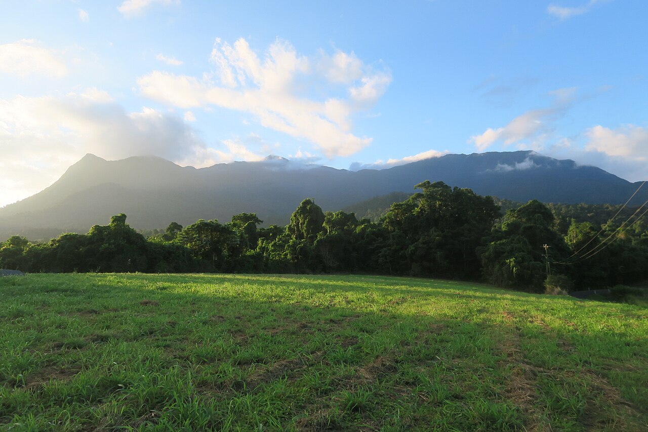
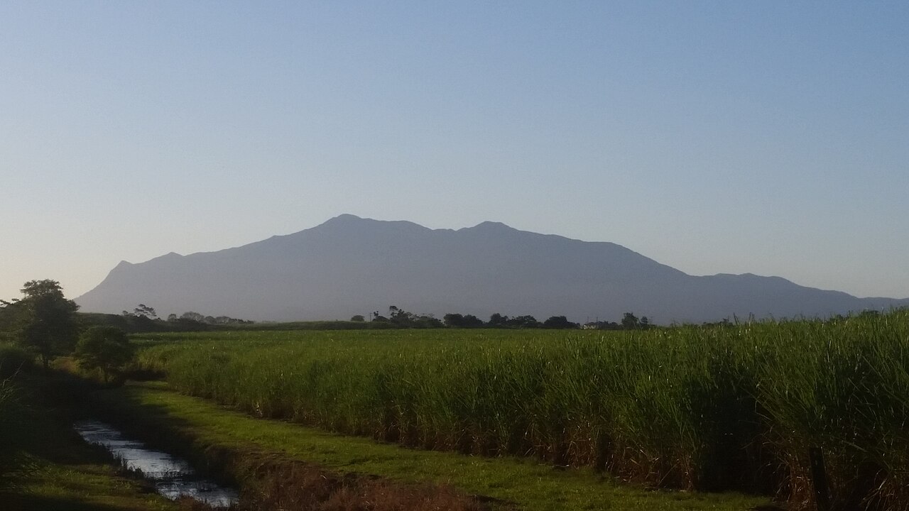
Bartle Frere Trail: the route on a map
Wooroonooran National Park
The mountain sits between the Bruce Highway and the Atherton Tableland. The usual start is the Josephine Falls car park, 75 km south of Cairns.
Route line from OpenStreetMap. On the day, follow the signs and markers on the track.
Open in Google MapsGentler days in the same corner
Josephine Falls sits at the foot of the mountain, and Babinda Boulders is close by.
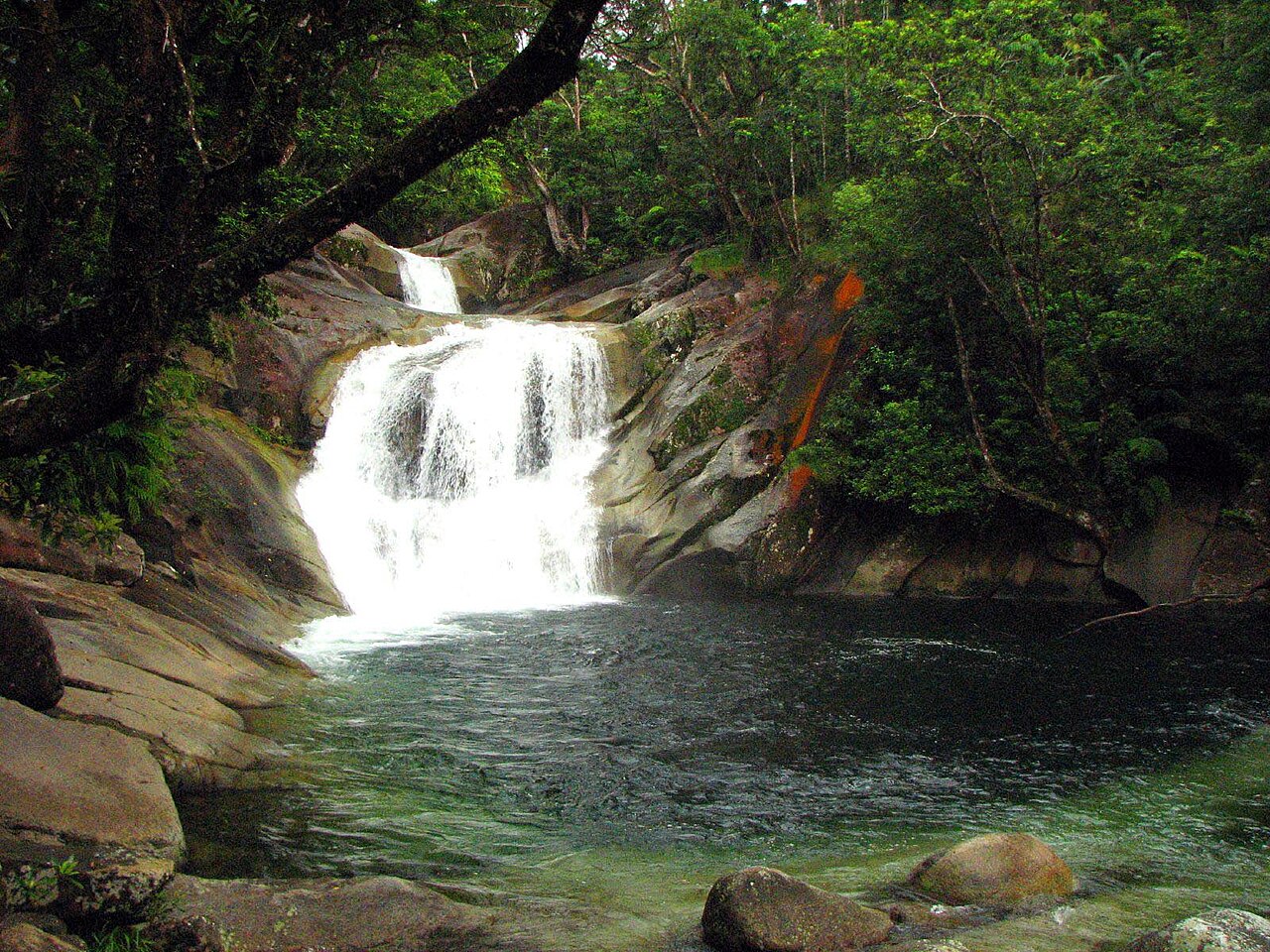
Josephine Falls
A three-tiered waterfall with a natural rock slide, under Queensland's highest peak.
See the guide →Walsh's Pyramid
A 922 m granite peak near Gordonvale. Steep, shadeless and unforgettable at the top.
See the guide →Babinda Boulders
Clear water, giant granite boulders and a strict line on where you can swim.
See the guide →Waterfalls & Paronella Park
Tablelands waterfalls and Paronella Park in one guided day.
Bartle Frere FAQs
How long is the Bartle Frere trail?
15 kilometres one way. Queensland Parks recommends allowing two days.
Can you climb Bartle Frere in a day?
Only very fit and experienced bushwalkers, and it takes 10 to 12 hours. Most people take two days and camp.
Is there a shorter Bartle Frere walk?
Yes. Josephine Falls to Broken Nose is 10 km return, about 8 hours, and still Grade 5.
Do I need a permit for Bartle Frere?
For camping, yes. The hike-in bush camps need a permit and fees apply.
Is the Bartle Frere trail open?
Queensland Parks has an upcoming closure of the eastern approach, including Big Rock and Eastern Summit camps, from 21 June to 25 August 2027. Check park alerts before you go.