Turn off the Bruce Highway 2 km south of Mirriwinni, then 8 km to the car park.
Directions in Google MapsQueensland Parks is doing maintenance on the viewing platforms and amenities. Parts of the track, the bottom pool and the platforms may close at times, with an expected two-week full closure of the swimming area (weather permitting). At least one viewing platform stays open and portable toilets are provided. The day-use BBQ is out of service until 31 January 2027.
A waterfall that doubles as a slide
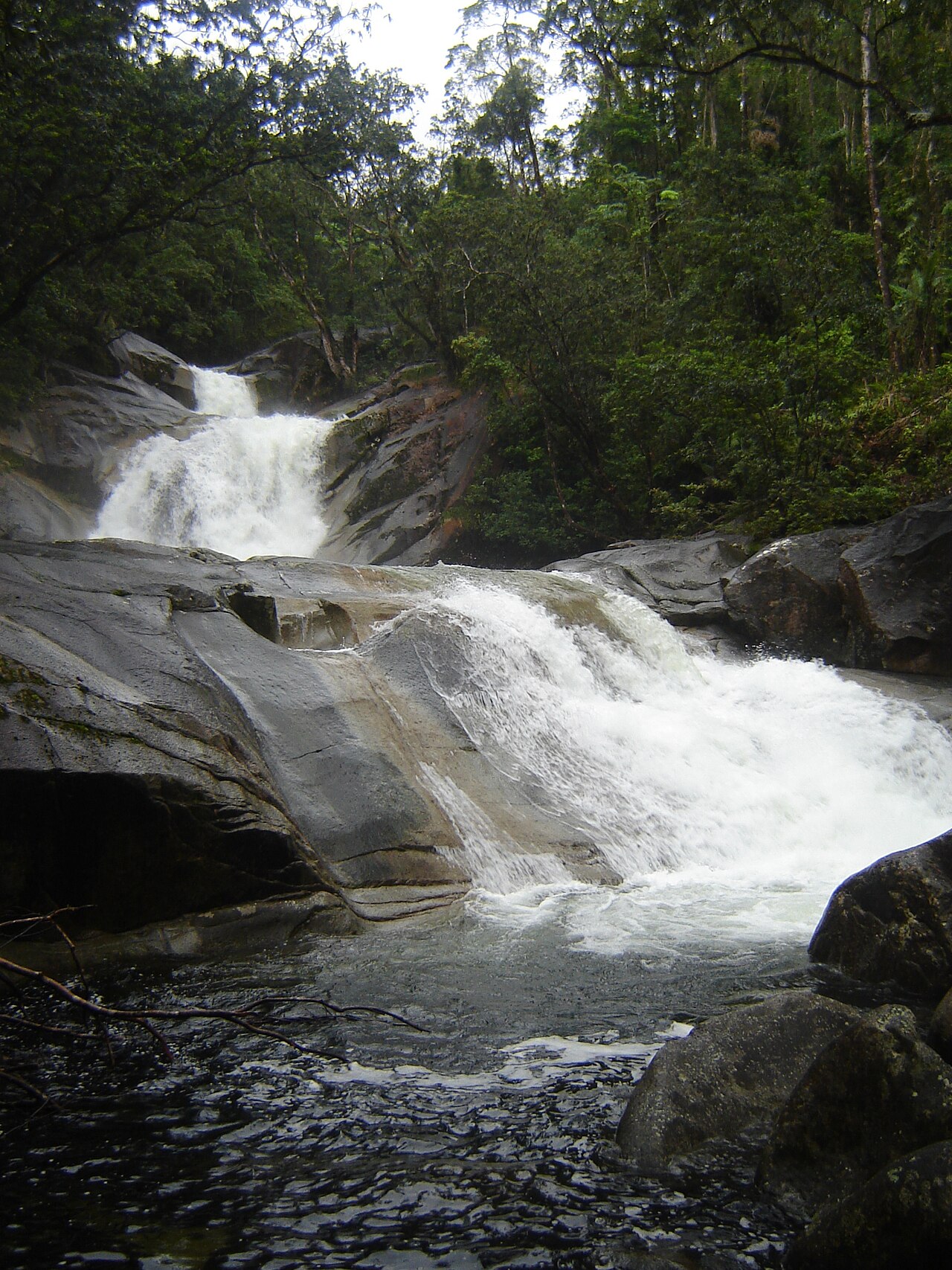
Josephine Falls is fed by rain falling on Bartle Frere, Queensland's highest mountain. The creek tumbles over granite boulders into a series of pools, about 75 kilometres south of Cairns.
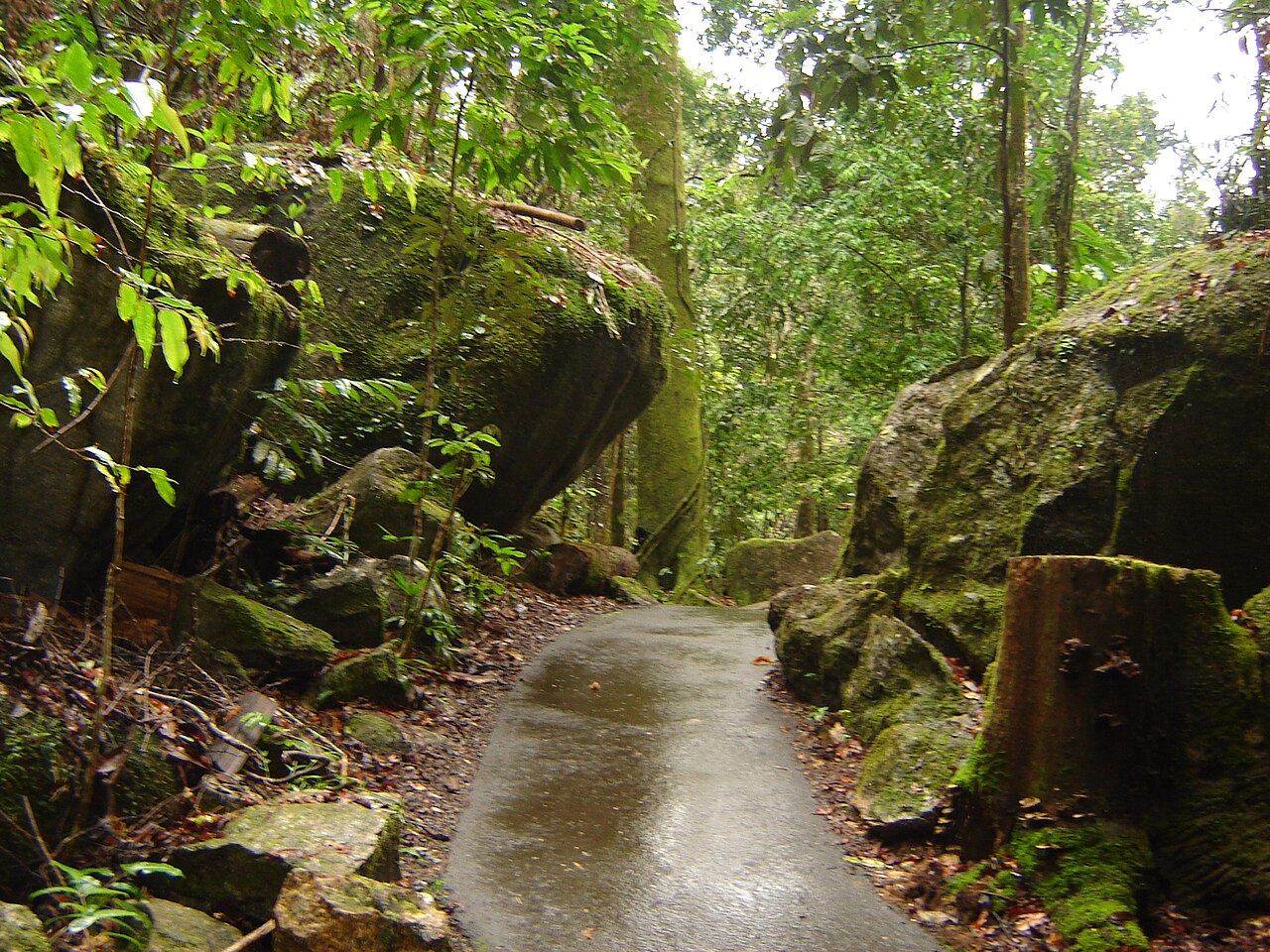
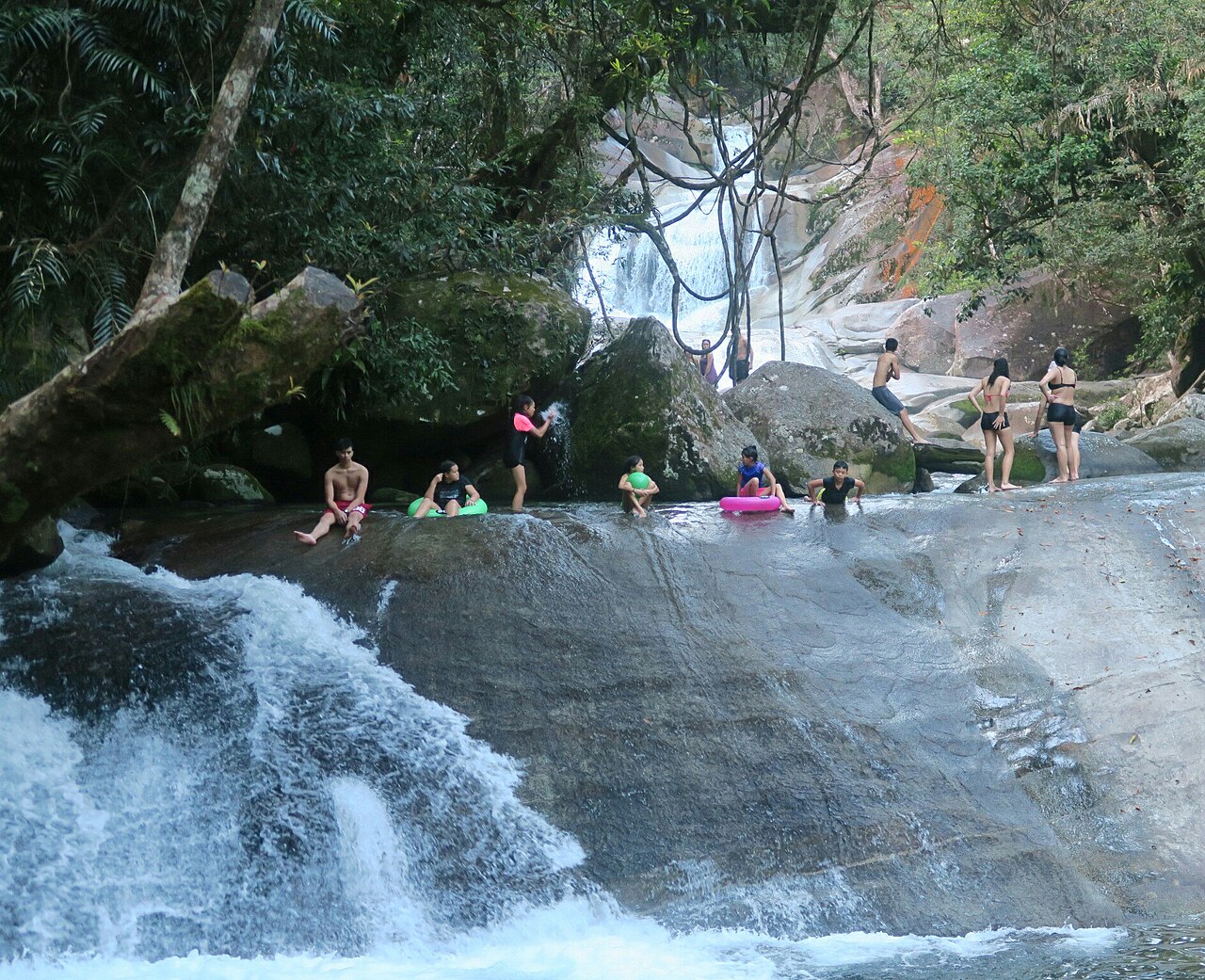
A 1.2 kilometre return track leads through rainforest to viewing decks, with stairs down to the bottom pool and its famous natural rock slide.
It's also one of the places where Queensland Parks warns hardest about flash flooding. Read the safety section, and check the closure dates above before you drive down.
The Josephine Falls walk
- Distance: 1.2 km return.
- Time: about 30 minutes.
- Grade 2: through lush rainforest to decks over Josephine Creek.
The top viewing platform is wheelchair accessible. Beyond it the track gets steeper and stairs lead down to the bottom pool. The toilets, picnic shelter and tables are wheelchair accessible too.
Swimming and the rock slide
Swimming is allowed in the bottom pool only, when conditions allow. The top section of the falls is a restricted access area: serious injuries and deaths have happened there, and penalties apply.
- Never jump or dive. There can be submerged objects.
- The rocks are exceptionally slippery and the water is cold.
- Supervise children closely.
Flash flooding at Josephine Falls
Queensland Parks is blunt about this: flash flooding can happen here at any time of year. Rain in the upper catchment can make the creek rise rapidly and without warning, even when it's sunny at the falls. People, strong swimmers included, regularly get stranded on the far bank and need rescuing.
Leave the water immediately if it changes colour or starts to rise.
Josephine Falls: good to know
Restricted area
The top of the falls is off-limits. Penalties apply.
Rising water
If the water changes colour or rises, get out straight away.
Closures
Platforms, pool and track partly closed at times from 2 Nov 2026 to 28 Feb 2027.
Traditional Owners
The Noongyanbudda Ngadjon people welcome you to their country.
Best time of year to visit
Queensland Parks recommends April to September. August and September are generally the driest, but heavy rain can fall at any time, and some walks may close in the wetter months.
Josephine Falls in pictures
Swipe or use the arrows. Tap a photo to see it bigger.
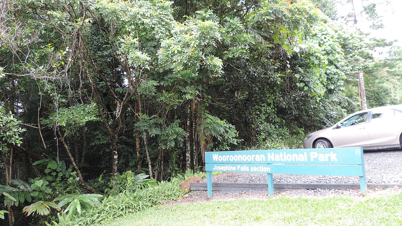
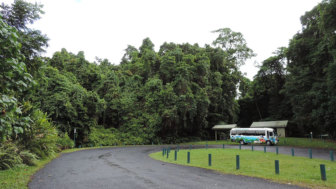
Josephine Falls: the route on a map
Wooroonooran National Park
75 kilometres south of Cairns. Turn off the Bruce Highway 2 kilometres south of Mirriwinni and drive 8 kilometres to the car park. A normal car is fine.
Route line from OpenStreetMap. On the day, follow the signs and markers on the track.
Open in Google MapsLet someone else drive
It's an hour each way. A waterfall day tour links several falls and swims without the planning.
Babinda Boulders
Clear water, giant granite boulders and a strict line on where you can swim.
See the guide →Bartle Frere Trail
Queensland's highest mountain. A two-day trail for experienced bushwalkers only.
See the guide →Millaa Millaa Falls
The postcard waterfall of the Tablelands, and the start of the Waterfall Circuit.
See the guide →Waterfalls & Paronella Park
Tablelands waterfalls and Paronella Park in one guided day.
Uncle Brian's Waterfall & Rainforest Tour
A fun, swim-heavy waterfall day for grown-ups.
Barefoot Tours
A full day of waterfalls and swimming holes on the Tablelands.
Josephine Falls FAQs
Is Josephine Falls open?
Queensland Parks has maintenance works from 2 November 2026 to 28 February 2027, with partial closures of the track, platforms and bottom pool at times, and an expected two-week full closure of the swimming area. Check park alerts on the day.
Can you swim at Josephine Falls?
In the bottom pool only, when conditions allow. The top of the falls is a restricted access area.
How long is the walk to Josephine Falls?
1.2 kilometres return, about 30 minutes.
Why is Josephine Falls dangerous?
Flash flooding can happen at any time of year, the rocks are very slippery, and currents can be strong even when the surface looks calm. Serious injuries and deaths have occurred in the restricted area.
How far is Josephine Falls from Cairns?
About 75 kilometres, around an hour's drive.
Is Josephine Falls wheelchair accessible?
The top viewing platform, toilets, picnic shelter and tables are wheelchair accessible. Stairs lead down to the bottom pool.