Car park off Moss Road, south of Gordonvale. Conventional vehicle, gravel road at the end.
Directions in Google MapsThe pyramid on the way south, and the climb to its tip
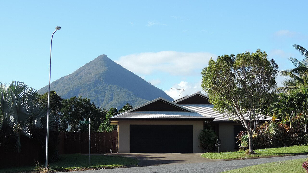
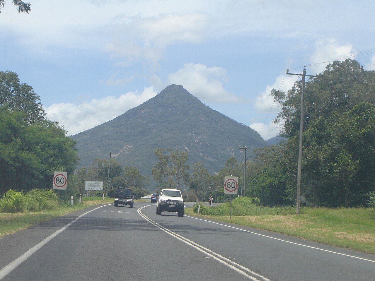
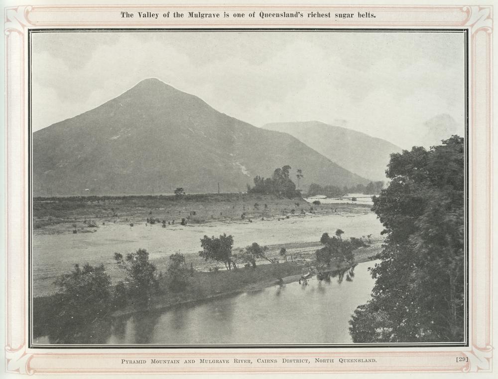
Drive south from Cairns and you can't miss it: a near-perfect pyramid rising out of the cane fields behind Gordonvale. Walsh's Pyramid is a 922 metre granite peak in Wooroonooran National Park, part of the Wet Tropics World Heritage Area.
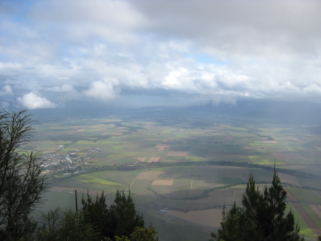
The track to the top is 6 kilometres return, steep and rocky, and Queensland Parks allows 5 to 6 hours. The vegetation is stunted, which means great views on the way up and no shade at all.
It's a Grade 5 walk, for fit walkers only. Start in the morning, carry lots of water, and take your time on the way down.
The Walsh's Pyramid track
- Height: 922 m, an independent peak with a distinct pyramid shape.
- Distance: 6 km return, same track up and down.
- Time: 5 to 6 hours.
- Grade 5: steep and rocky. Strenuous and for fit walkers only.
Geologically it's a granite core, left standing after the softer metamorphic rock around it eroded away. That's why it looks so sharp from the road.
How to get to Walsh's Pyramid
From Cairns, drive about 25 kilometres south on the Bruce Highway, past Gordonvale. Around 800 metres south of the Mulgrave River bridge (the Desmond Trannore bridge), turn right onto Moss Road. Follow the signs along the gravel road to the car park where the track starts. A normal car is fine.
How to prepare for the climb
- Start in the morning and allow plenty of time to be down before dark.
- Carry all your water. None is available on the track.
- Sun protection: hat, sunscreen and sunglasses. There's no shade.
- Good hiking boots. The surface is rocky.
- Stay clear of cliff edges. Serious injury or death can result from a fall.
Walsh's Pyramid: good to know
From the Queensland Parks track page.
Grade 5
Strenuous, steep and rocky. Consider your ability and the conditions before you set out.
No shade
Stunted vegetation means full sun most of the way.
No water
Carry everything you'll drink.
No wheelchair access
There are no wheelchair-accessible facilities.
Best time of year to climb
May to September are the best walking months, according to Queensland Parks, with maximums around 26°C. From December to April expect heavy downpours, high humidity and 27 to 33°C.
Walsh's Pyramid in pictures
Swipe or use the arrows. Tap a photo to see it bigger.
Walsh's Pyramid: the route on a map
Moss Road, south of Gordonvale
About 26 kilometres south of Cairns. The turn-off onto Moss Road is around 800 metres south of the Mulgrave River bridge.
Route line from OpenStreetMap. On the day, follow the signs and markers on the track.
Open in Google MapsCool off afterwards
Behana Gorge is just down the road and has freshwater pools at the end of its walk. Babinda Boulders is about half an hour further south.
Behana Gorge
A steep sealed walk to Clamshell Falls and granite pools. You earn this swim.
See the guide →Babinda Boulders
Clear water, giant granite boulders and a strict line on where you can swim.
See the guide →Blue Arrow Walk
The serious Mount Whitfield circuit: 6 km of steep rainforest and a lookout over the city.
See the guide →Behana Gorge Canyoning
Abseil, jump and slide your way down the gorge with a guide.
Walsh's Pyramid FAQs
How long does it take to climb Walsh's Pyramid?
Queensland Parks suggests 5 to 6 hours for the 6 kilometre return track.
How high is Walsh's Pyramid?
922 metres.
Is Walsh's Pyramid hard?
Yes. It's a Grade 5 track: steep, rocky and without shade. Queensland Parks recommends it for fit walkers only.
Where does the Walsh's Pyramid track start?
At a car park at the end of a gravel road off Moss Road, about 800 metres south of the Mulgrave River bridge past Gordonvale.
When is the best time to climb Walsh's Pyramid?
Early in the morning, in the cooler, drier months from May to September.